Johnson County, IA Real Estate
You found the right website if you are searching for homes for sale in Johnson County, IA. Our website has EVERY Johnson County home for sale in Iowa listed with Iowa City Area MLS.
Johnson County is a county located in the U.S. state of Iowa. As of the 2010 census, the population was 130,882 making it the fifth-most populous county in Iowa. The county seat is Iowa City, home of the University of Iowa. The county is named for Richard Mentor Johnson, the ninth vice president of the United States.
Buying a Johnson County Home
We want to make your home search and buying experience as stress free and rewarding as possible. Use our Johnson County, Iowa real estate expertise to make sure you don’t miss out on any homes that meet your needs or pay too much for your next home.
Selling Your Johnson County Home
We are here to get your house aggressively marketed to sell as quickly as possible and for the best price! Our goals are to help you get your Johnson County, IA home sold, put you in the strongest negotiating position as possible, and to make it easier for you and reduce surprises.
Browse Johnson County Properties for Sale
Living in Johnson County
Johnson County is included in the Iowa City, IA Metropolitan Statistical Area, which is also included in the Cedar Rapids-Iowa City Corridor Combined Statistical Area.
History
Johnson County was created in December 1837 by the legislature of the Wisconsin Territory, one of thirteen counties established by that body in a comprehensive act. The county’s area was partitioned from Dubuque County, and was not initially provided with a civil government, instead being governed by Cedar County officials. It was named for the US Vice President Richard M. Johnson.
The first courthouse in the county was a two–story log cabin structure, built in 1838 in the settlement of Napoleon, about two miles south of the current courthouse. The building stood across from what later would become the James McCollister Farmstead on land later owned by Philip Clark.
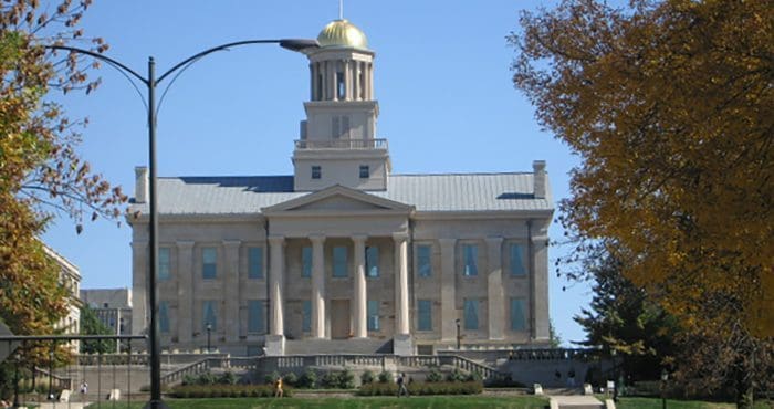
After Iowa City was established by fiat as the new territorial capitol of Iowa, the county seat was removed there. The second Johnson County Courthouse, the first in Iowa City, was built on Lot 8 Block 8 of the County Seat Addition to Iowa City in 1842 for $3,690. This location was in the southeast corner of the intersection of Harrison and Clinton Streets. The building was 56 x 28 feet and two stories tall. It was built by James Trimble, who had previously built the first jail.
A third courthouse was built in 1857 in the courthouse square on Clinton Street between Court and Harrison Streets. It was used until 1901, after cracks appeared in its south wall in 1899. The building was apparently built of brick with stone and wood ornamentation.
The Richardsonian Romanesque style courthouse in use today was designed by the firm of Rush, Bowman and Rush of Grand Rapids, MI. It was bid at a cost of $111,000 and built by the firm Rowson & Son of Johnson County. The cornerstone was laid in December 1899. The building’s tower was based on Henry Hobson Richardson’s design for the spire of Trinity Church in Boston. The building was dedicated on June 8, 1901. The currently unused jail that stands to the west of the courthouse was designed by C.L. Wundt of Burlington on behalf of the Stewart Iron Works, Cleveland, OH and bid for $14,000.
Politics
Largely as a result of the presence of the University of Iowa, Johnson County is the most liberal leaning county in Iowa and a stronghold of the Democratic Party. It has been the strongest Democratic county in the state since 1984. This trend predates the recent swing toward the Democrats in counties influenced by college towns. The last Republican to win the county in a presidential election was Richard Nixon in 1960, and the last Republican to even get 40 percent of the county’s vote was Ronald Reagan in 1984. As a measure of how strongly Democratic the county has been, Democrats easily carried it even in the national Republican landslides of 1972, 1984 and 1988.
Johnson County’s Democratic bent is just as pronounced at the state level. It is often the lone county to vote Democratic in statewide Republican landslides, such as Senator Chuck Grassley’s re-elections in 2010 and 2016 or Governor Terry Branstad’s re-election in 2014.
Geography
According to the U.S. Census Bureau, the county has a total area of 623 square miles (1,610 km2), of which 614 square miles (1,590 km2) is land and 9.1 square miles (24 km2) (1.5%) is water.
Major highways
- Interstate 80
- Interstate 380
- U.S. Highway 6
- U.S. Highway 218
- Iowa Highway 1
- Iowa Highway 22
- Iowa Highway 27
Adjacent counties
- Benton County – northwest
- Cedar County – east
- Iowa County – west
- Linn County – north
- Muscatine County – east and southeast
- Louisa County – southeast and south
- Washington County – south
- Iowa County – west
Communities
Cities
- Coralville
- Hills
- Iowa City
- Lone Tree
- North Liberty
- Oxford
- Shueyville
- Solon
- Swisher
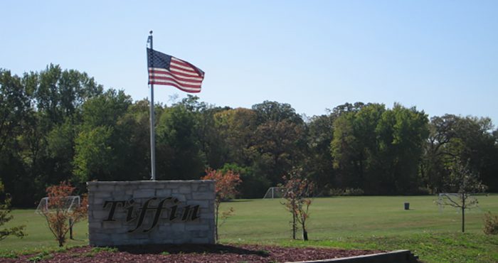
- Tiffin
- University Heights
Census-designated place
- Frytown
Other unincorporated communities
- Amish
- Elmira
- Cosgrove
- Morse
- Oasis
- River Junction
- Sharon Center
- Sutliff
- Windham
Ghost towns
- Midway
Townships
- Big Grove
- Cedar
- Clear Creek
- East Lucas
- Fremont
- Graham
- Hardin
- Jefferson
- Liberty
- Lincoln
- Madison
- Monroe
- Newport
- Oxford
- Penn
- Pleasant Valley
- Scott
- Sharon
- Union
- Washington

